Planning Authority Caps Qrendi Development at 118.5 Metres
The Planning Authority capped heights at Qrendi's PC/59/20 site at 118.5m, ordered green space preserved and gave the applicant six weeks to revise — or face refusal.

Programme
- Planning application PC/59/20 in Qrendi deferred for six weeks pending revised plans.
- Building height capped at 118.5 metres above mean sea level, matching the existing school.
- Development area may not contain sections narrower than three metres; rest stays green.
- Archaeological study required before any construction works begin.
- Failure to submit revised plans within six weeks means the application will be refused.
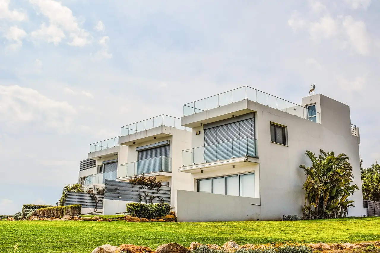
Malta's Planning Authority has capped building heights at a contested Qrendi site at 118.5 metres above mean sea level — the height of the existing school building on the land — and ordered that the rest of the site stay green.
The Authority's Executive Council has also postponed its decision on planning application PC/59/20 for six weeks, giving the applicant time to submit revised plans that address a series of planning, environmental and visual concerns. The postponement is not an approval. If the revised drawings don't arrive within the deadline, the application will be refused outright.
What do the conditions actually require?
The conditions set out by the Executive Council work as hard constraints on any future construction:
- A maximum height of 118.5 metres above mean sea level, matching the existing school, so no new structure can rise above the established level.
- No part of the designated development area may be narrower than three metres, closing off sliver plots.
- All land outside the building footprint must remain green space.
- Development inside the designated area is restricted to residential use.
- An archaeological study must be completed before any construction begins, ensuring remains are investigated and factored in.
- The layout, height and overall massing must respect views towards Qrendi's church, including sightlines from the rear of the site.
The authority stressed that the design must "blend more appropriately with the surrounding area while safeguarding important views from the rear of the site."
How did the council assess the visual impact?
The mechanism behind the decision is technology. During its assessment, the Executive Council used the Planning Authority's latest GeoMaps tool (a digital mapping system that models how buildings appear from multiple viewpoints) to examine the proposal's appearance from different angles.
That let council members evaluate the buildings' impact on the surrounding landscape — specifically their relationship with the existing school and the village church. It's a concrete example of how simulation tools now feed directly into regulatory conditions, rather than staying in the background.
What does this change for the applicant and the village?
For the applicant, the math is simple: revise everything within six weeks or lose the application. The updated plans must shrink the development's overall footprint, keep green areas intact and prove that construction respects the character of its surroundings.
For Qrendi residents, the conditions lock in two protections before approval is even considered — an absolute height ceiling and preserved open land — plus an archaeological review that runs ahead of any excavation. Once the revised proposal lands, the Planning Authority will reconsider the application in light of the new restrictions and safeguards.
Source: lovinmalta.com
More from Grace Kim
Show full bio
Correspondent covering technology and product news in arts in the broadest sense at Arts & Voices.
1,314 articles